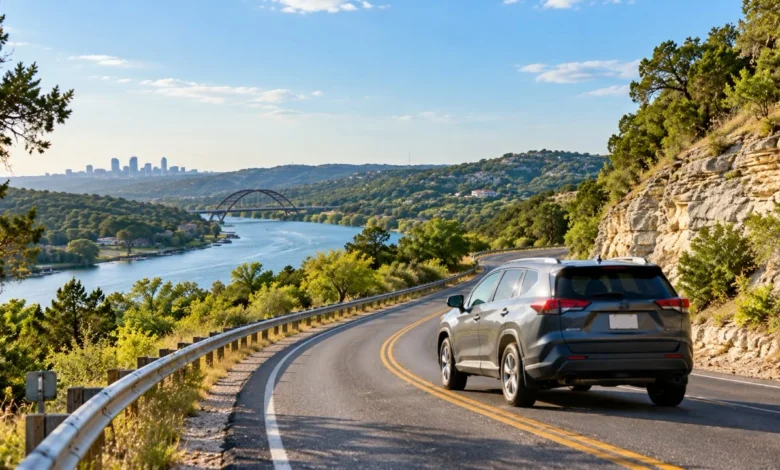
Austin has the skyline, the live music and some famously stubborn traffic. Head out of town in almost any direction, though, and the Texas Hill Country opens up: limestone bluffs, spring-fed rivers, wildflower fields and small towns with serious barbecue.
Here are ten of the best scenic drives within reach of the capital, from short sunset loops to full-day road trips, plus a few things locals know about driving them safely.
1. Loop 360 (Capital of Texas Highway)
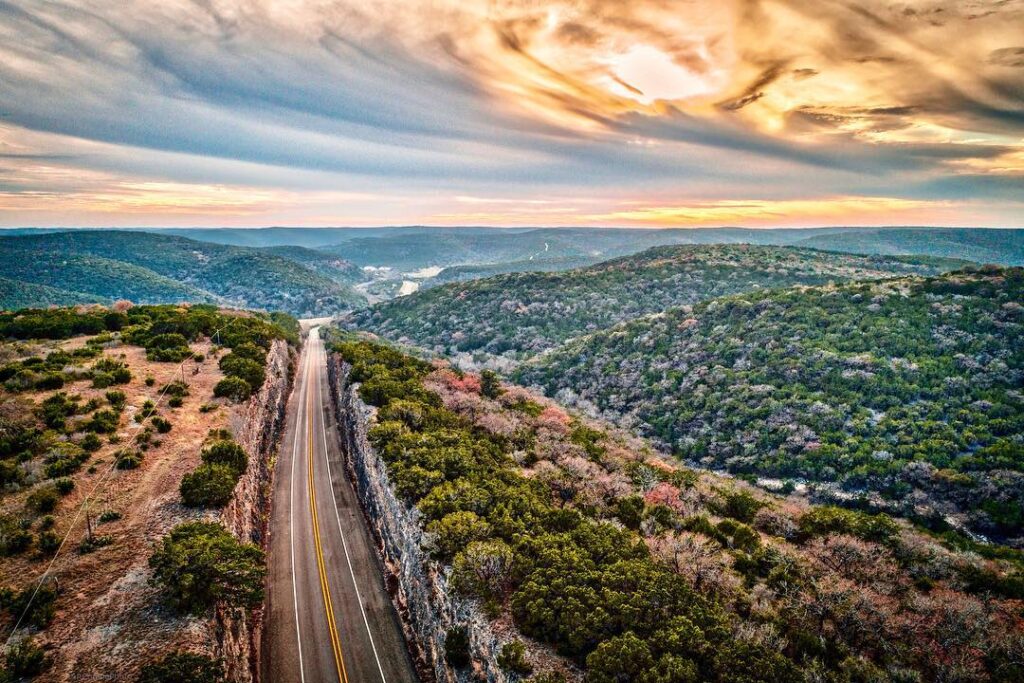
You don’t have to leave the city for this one. Loop 360 winds through the hills west of downtown, and the overlook near the Pennybacker Bridge gives one of the most photographed views in Austin, with Lake Austin curling below. Go early on a weekend morning, before traffic builds and while the light is still soft on the water.
2. FM 2222 and RR 620 to Lake Travis
Take FM 2222 west through the curves past Four Points, then pick up RR 620 toward the lake. The road dips and climbs through cedar-covered hills until Lake Travis comes into view. In summer, stop at one of the lakeside parks for a swim. In winter, the lake level and the shoreline tell you a lot about how dry the year has been.
3. The Willow City Loop
North of Fredericksburg, this narrow ranch road is famous for spring wildflowers. From about March into April, bluebonnets, Indian paintbrush and winecups cover the hillsides. It’s a public road through private ranchland, so stay in your car or on the pavement, don’t climb fences and expect slow traffic on peak weekends.
4. US 290 Wine Road to Fredericksburg
The stretch of US 290 between Johnson City and Fredericksburg is lined with wineries, peach stands and lavender farms. Pick a designated driver or book one of the shuttle services that run the route, then spend the afternoon walking Fredericksburg’s Main Street. Peach season in early summer is the best time to stop at the roadside stands.
5. The Twisted Sisters (RR 335, 336 and 337)
Motorcyclists come from all over the country to ride this loop west of Kerrville through Leakey, Camp Wood and Vanderpool. Expect hairpin turns, steep drops, loose gravel in the curves and river crossings. It’s thrilling in a car too, but take it slowly. Cell service is limited, and there’s very little shoulder if something goes wrong.
6. Devil’s Backbone (FM 32)
Between Wimberley and Blanco, FM 32 runs along a high ridge with views across the valleys on both sides. Pull off at the scenic overlook, then finish in Wimberley for shopping and a swim at one of the area’s spring-fed holes, assuming water levels and reservations allow.
7. River Road along the Guadalupe
From Canyon Lake down toward New Braunfels, River Road follows the Guadalupe past bald cypress trees, tubing outfitters and several low-water crossings. In summer it’s busy with river traffic. In late fall the cypress needles turn copper and the road goes quiet, which makes it one of the prettiest autumn drives in Central Texas.
8. Ranch Road 965 to Enchanted Rock
Drive north out of Fredericksburg on RR 965 to reach Enchanted Rock State Natural Area, a huge pink granite dome you can hike to the top of in under an hour. Day passes often sell out on weekends, so reserve ahead through Texas State Parks. Bring more water than you think you need. The granite holds heat well into the evening.
9. Highway 71 to Llano and the Highland Lakes
Head northwest on Highway 71 past Spicewood toward Llano, with side trips to Inks Lake State Park and Longhorn Cavern. Llano is known for its barbecue and its historic bridge over the Llano River, and the drive home at sunset across the granite country is worth timing on purpose.
10. Lockhart and the Caldwell County Back Roads
Not every scenic drive needs hills. Head southeast through farm country to Lockhart, the self-styled Barbecue Capital of Texas, then wander back on county roads through Luling and Martindale. Small towns, pecan groves and open pasture give a quieter picture of Central Texas than the lake routes do.
Low-water crossings are the real hazard
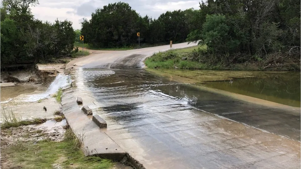
The Hill Country’s beauty comes from water cutting through limestone, and that same geography makes it one of the most flash-flood-prone regions in the country. Creeks that look like a trickle in the morning can rise several feet after a storm upstream, sometimes under a clear sky.
The National Weather Service puts it bluntly: on its Turn Around Don’t Drown page, it cites CDC data showing that over half of all flood-related drownings occur when a vehicle is driven into hazardous flood water. The NWS adds that just 12 inches of rushing water can carry away most cars, and 2 feet can carry away SUVs and trucks.
Several of the routes above, especially River Road and the Twisted Sisters, cross creeks on low-water crossings with depth markers. If water is over the road, turn around. The road surface under it may already be gone.
Planning around dusk and darkness
Deer are everywhere in the Hill Country at dawn and dusk, and many ranch roads have no lighting, no shoulder and no center line. If your day trip will end after sunset, slow down on two-lane roads, use high beams when there’s no oncoming traffic and scan the ditches as well as the pavement. These tips for a safe road trip at night cover fatigue, visibility and what to pack for a late drive home.
A short pre-trip checklist
- Fuel up early. Gas stations can be far apart on rural routes, especially west of Kerrville.
- Download offline maps. Coverage drops in the canyons along RR 335 through RR 337 and parts of the Guadalupe.
- Check park reservations. Enchanted Rock, Pedernales Falls and several swimming holes sell out on spring and summer weekends.
- Watch the radar, not just the sky. Rain upstream is what floods a crossing downstream.
- Look at your coverage before a long day out. Extra miles on unfamiliar roads add risk. Check that roadside assistance, comprehensive coverage and your proof of insurance are current, and if you’re comparing policies, look at affordable car insurance in Austin before the season’s big trips.
Best times to go
Spring is peak season for wildflowers and peaches, which also means crowds on the Willow City Loop and US 290. Fall brings milder temperatures, quieter roads and cypress color along the rivers. Summer works for lake and river drives if you start early and plan a swim stop. Winter is underrated: clear air, empty overlooks and the occasional cold front that makes the granite country look sharp in low sun.